
Sangu River
সাঙ্গু নদী · Ruma, Bandarban, Chattogram

- Time needed
- At least 1 day
- Difficulty
- Easy
Are you here now?
Check in when you are at the place. It fills in your travel map and earns points.
Use this place offline
Saves this page, the emergency numbers and the map around the place on your phone, for where there is no network.
About
The Sangu River is a river in Myanmar and Bangladesh. Its source is in the North Arakan Hills of Myanmar, located at 21°13´N 92°37´E. The Arakan Hills form the boundary between Arakan and the Chittagong Hill Tracts. It follows a northerly circuitous course in the hill tracts and then enters Bangladesh near Remaikri, Thanchi Upazila, Bandarban District, from the east. It flows north through Thanchi, Rowangchhari and Bandarban Sadar Upazilas of Bandarban district. (Source: Wikipedia, CC BY-SA 4.0 — https://en.wikipedia.org/wiki/Sangu_River)
When to go
- Jan — Possible
- Feb — Possible
- Mar — Possible
- Apr — Possible
- May — Possible
- Jun — Possible
- Jul — Possible
- Aug — Possible
- Sep — Possible
- Oct — Possible
- Nov — Possible
- Dec — Possible
- Best time
- Possible
- Avoid
Costs
No costs have been added yet.
Photos
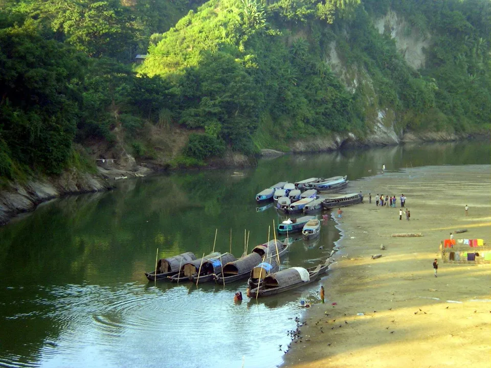
Photo: Mohammed Tawsif Salam, CC BY-SA 3.0, Wikimedia Commons

Something wrong or missing?
Prices and rules change. Tell us what you found and help the next traveller.
Questions and answers
Ask before you go; people who have been there will answer.
No questions yet. Be the first to ask.
Posts from travellers
What people who went there wrote and showed.